HYPACK® Environmental Mapping
Description
SIMPLIFYING DATA COLLECTION, PROCESSING, AND MAPPING THE CHARACTERISTICS OF WATER
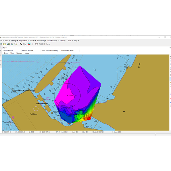
To address the global need to understand and improve marine and aquatic bodies of water through environmental monitoring, we’ve developed a software package that makes it easier to collect, view and analyze data in both time and space using a diverse selection of sensors. HYPACK® Environmental Mapping software is your solution for mapping water characteristics using water quality sensors and Acoustic Doppler Current Profilers (ADCPs). This robust software collects data streams from vessel-mounted sensors (or stationary sensors) to support the comprehensive mapping of marine and aquatic environments.
Plan surveys, collect various brand sensor measurements with real-time QA/QC, edit and map results all in one software package.
Environmental surveys involve a range of sensors, methods, and procedures, and users often need to compare data from different sources or projects. With our software, you can align datasets both geographically and temporally to gain valuable insights about water bodies through the trends and correlations of the measured parameters. The flexibility of our software extends to supporting data collection and mapping from several sensor brands and types. Experience a user-friendly environmental mapping solution that makes understanding and improving our water resources more accessible than ever.
Benefits
- Simultaneous data collection and editing of measurements from generic sensors.
- ADCP data collection, editing and mapping (velocities, depths, backscatter, and discharge).
- Generate and export plots, charts, and final products to help compare, analyze, and communicate data products.


