Customize Consent Preferences

We use cookies to help you navigate efficiently and perform certain functions. You will find detailed information about all cookies under each consent category below.

The cookies that are categorized as "Necessary" are stored on your browser as they are essential for enabling the basic functionalities of the site. ... 

Always Active

Necessary cookies are required to enable the basic features of this site, such as providing secure log-in or adjusting your consent preferences. These cookies do not store any personally identifiable data.

No cookies to display.

Functional cookies help perform certain functionalities like sharing the content of the website on social media platforms, collecting feedback, and other third-party features.

No cookies to display.

Analytical cookies are used to understand how visitors interact with the website. These cookies help provide information on metrics such as the number of visitors, bounce rate, traffic source, etc.

No cookies to display.

Performance cookies are used to understand and analyze the key performance indexes of the website which helps in delivering a better user experience for the visitors.

No cookies to display.

Advertisement cookies are used to provide visitors with customized advertisements based on the pages you visited previously and to analyze the effectiveness of the ad campaigns.

No cookies to display.

HYPACK ECHO

Surveying Made Simple

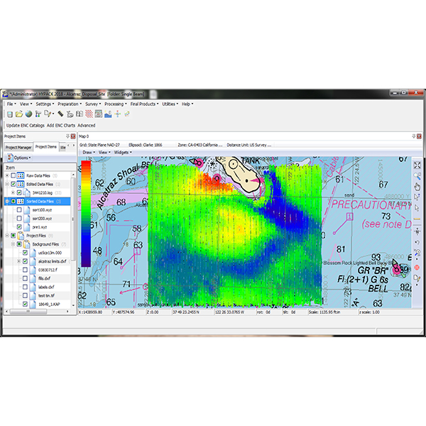
HYPACK® ECHO is our software package for bathymetric and hydrographic surveying, which use single beam echosounder (SBES) technologies. HYPACK® ECHO is a good choice for any industry that requires an SBES survey, and is especially suitable for support mining operators or military surveyors in need of professional-grade software with a simplified workflow. HYPACK® ECHO is built on the same core as HYPACK®, which ensures ECHO can be maintained and continuously improved for the future.


Features

  • Survey planning and real-time navigation
  • Full positioning support including RTK and Differential GPS
  • Support for popular AUV interfaces (MAVLink, SeaRobotics)
  • Background charts (ENC and Web Map support)
  • View and analyze single beam data, including echogram support
  • Final Products include plotting and exporting to ASCII XYZ and DXF

Benefits

  • Simple and focused solution
  • The software is designed to display only the tools applicable to SBES surveying
  • Support provided by our experienced and knowledgeable support team
  • Upgradeable to our full suite of tools, HYPACK® MAX