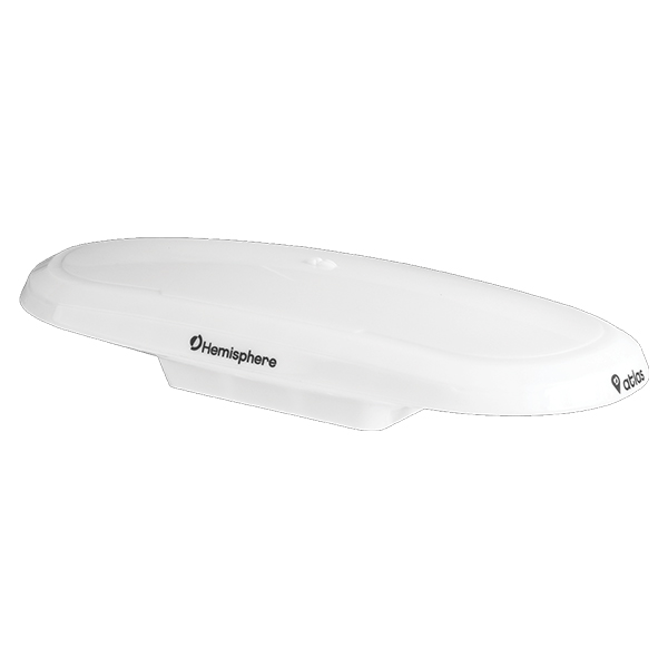
Vector™ V200 GNSS compass
Description
Experience superior navigation from the accurate heading and positioning performance available with the Vector™ V200 GNSS compass. The multi-GNSS Vector V200 supports GPS, GLONASS, BeiDou, Galileo, and QZSS and offers an amazing world-wide 30 cm (RMS) accuracy via Hemisphere’s Atlas GNSS global correction service.
The Vector V200 offers an incredible combination of simple installation, small form factor, and amazing performance. The compass – measuring only 35 cm in length – mounts easily to a flat surface or pole. The stability and maintenance-free design of the Vector V200 provides simple integration into autopilots, chart plotters, and AIS systems.