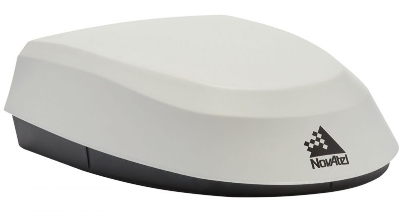
SMART7-S
Enquiry - SMART7-S

Description
Description
The SMART7-S combines a NovAtel OEM7® receiver, VEXXIS® antenna and an Inertial Measurement Unit (IMU) in a durable and waterproof enclosure. The SPAN® technology tightly couples the inertial measurements with GNSS to improve position accuracy, bridge GNSS outages, provide attitude information and terrain compensation.
For users in need of wireless solutions for tablets and smartphones, or easy connectivity to wired IP networks and devices, the SMART7-SI adds Wi-Fi and Ethernet with an integrated NTRIP client for connectivity via Wi-Fi and cellular gateways.
Features
Features
- GPS, GLONASS, BeiDou, Galileo, QZSS plus TerraStar correction signal reception
- Centimetre-level NovAtel CORRECT® TerraStar-C PRO and RTK accuracy
- Simultaneously track up to three TerraStar correction service satellites
- 15 cm pass-to-pass accuracy using TerraStar-L
- Integrated IMU for SPAN INS functionality
- Optional heading and relative positioning using ALIGN®
- Integrated NTRIP client using optional Ethernet/Wi-Fi interface
- On board web UI for easier receiver configuration on some models
- Advanced ISOBUS CAN bus functionality supports firmware update
- Supports NovAtel’s STEADYLINE® and GLIDE®
- Plate Tectonics incorporate compensation of region-specific movement to ensure positioning stays relevant for row applications
Attributes
Attributes
| System Type | Enclosed with Antenna | |
| General Info | Width | 192 |
| Length (mm) | 220 | |
| Height (mm) | 66 | |
| Weight (kg) | <1.1 | |
| Typical Power Consumption (W) | 4 | |
| Signal Tracking | GPS | L1, L2, L2C, L5 |
| GLONASS | L1, L2 | |
| Galileo | E1, E5a/b, E5 AltBOC | |
| BeiDou | B2l, B1C, B2l, B2a, B2b | |
| QZSS | L1, L2 | |
| SBAS | L1 | |
| L-Band (TerraStar) | ||
| Number of Com Ports | RS-232 | 3 |
| CAN Bus | 1 | |
| 1 PPS | 1 | |
| Ground Speed Output | 1 | |
| Wi-Fi | Optional | |
| Ethernet | Optional | |
| Performance | Accuracy | |
| Single Point L1/L2 | 1.2 m RMS | |
| SBAS | 60 cm RMS | |
| DGPS | 40 cm RMS | |
| TerraStar-C PRO | 2.5 cm RMS 3 cm 95% | |
| TerraStar-X | 2.0 cm RMS 2.5 cm 95% | |
| RTK | 2.5 cm + 2 ppm (95%) |


