Precision Survey Instrumentation
The Survey business caters to the demands of various markets ranging from topographic mapping and survey for construction companies, land and road authorities, mining professionals and others to robust instrumentation that are deployed in laboratories, riparian zones, rivers, estuaries, coastal waters, down to deep and very extreme environments in oceans and on oil platforms.
With ever increasing ocean going liners and vessels, charting water’s topographic and morphological features to consistently higher degree of accuracy is becoming the norm. Do more with less is the mantra, as higher resolution; higher swath coverage Multibeam echo-sounder, precision position receivers, tide measurement sensors make their presence felt.
Being able to establish position with ever increasing degree of accuracy is becoming a customary practice both on land and on water.
NAVIGATION & POSITIONING
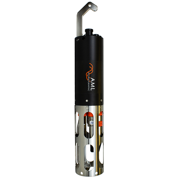
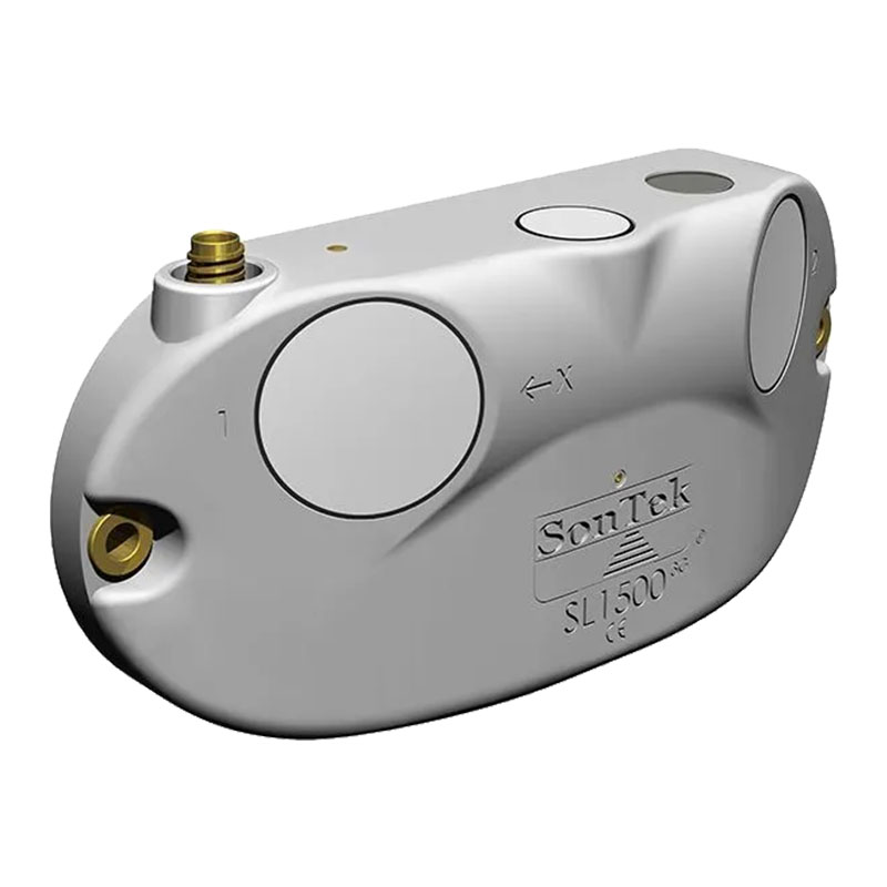
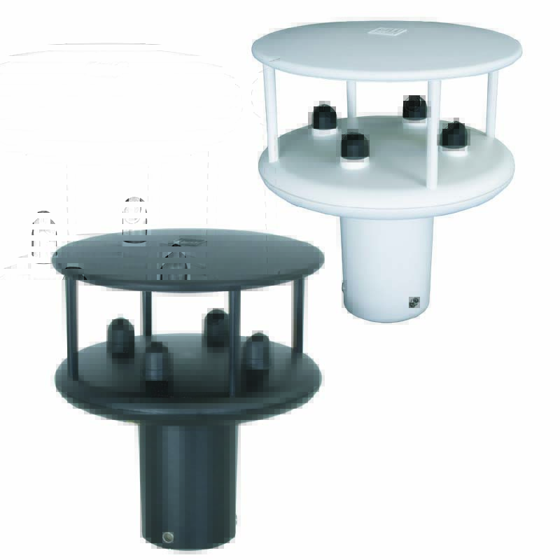
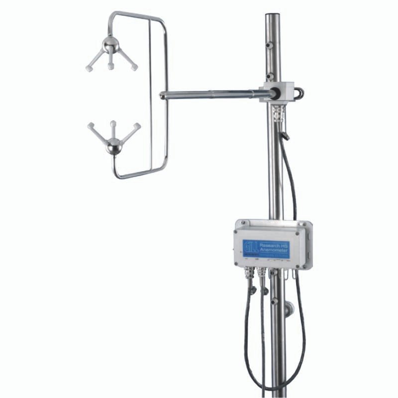
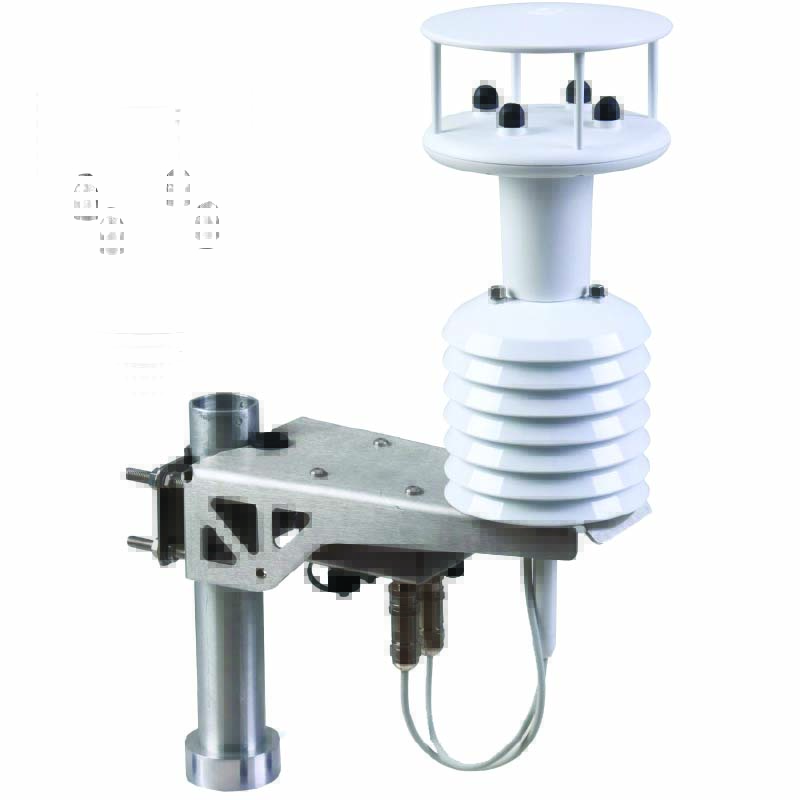
Oceans present an ever changing dynamic and a challenging frontier. To understand the physical, chemical, geological processes in the oceans we provide a host of stand-alone or integrated solutions from various leading underwater manufacturers. Study the ocean currents, waves, temperature, salinity and other parameters with the wide array of instrumentation that can be
LAND SURVEY
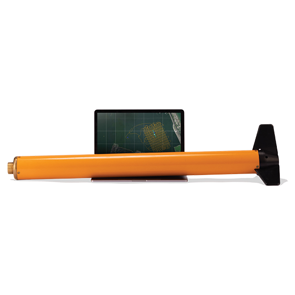
Provide tools to the Surveyor to be able to create topographic maps, point cloud data of as built and environment, detect objects in the subsurface, ground water, magnetic characterization of large areas.
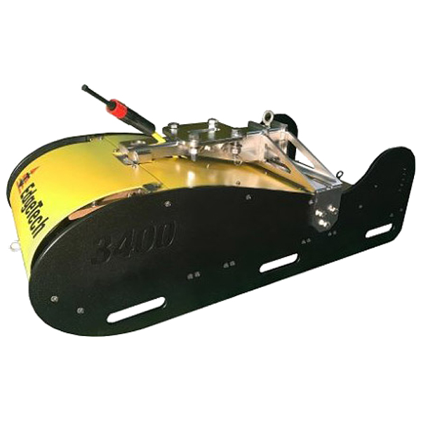
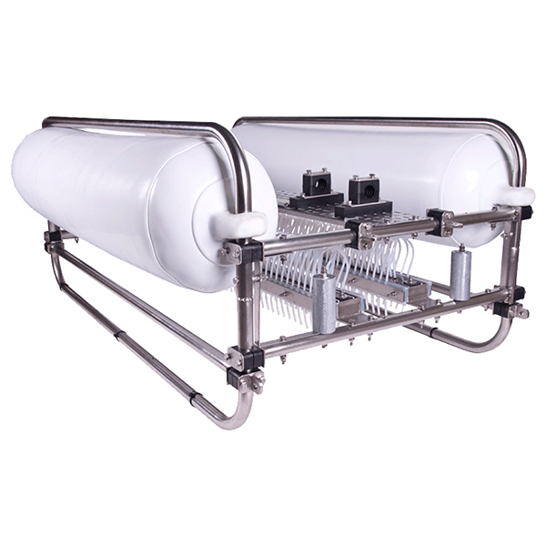
Subsurface mapping using different technique with or without excavation is a key ingredient for marine or underwater archaeology, construction companies, oil and gas drilling companies. Magnetometers and a range of high power acoustic systems are used for such studies underwater
Survey Solutions
The Survey Division is specialised in Survey Instrumentation and Data Acquisition and Processing Solutions used for Environmental Surveys, Oceanography, Hydrology, Hydrographic Surveys, Marine Seismic Surveys, Meteorological Work and Coastal Monitoring Studies
Precision Survey Instrumentation Products
- All
- Precision Survey Instrumentation